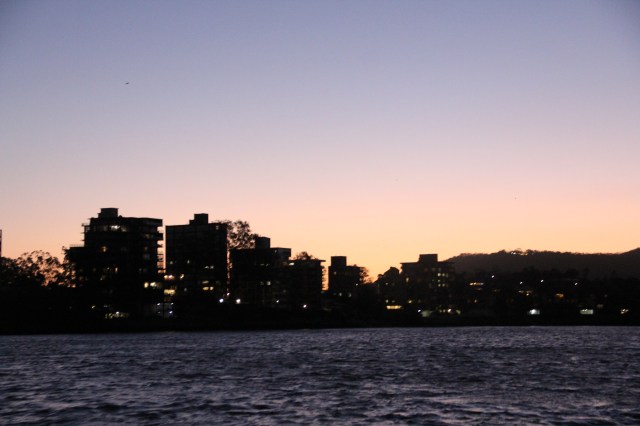
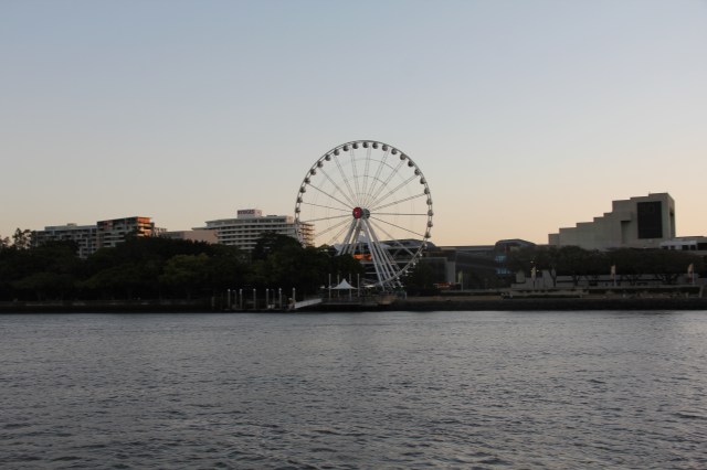
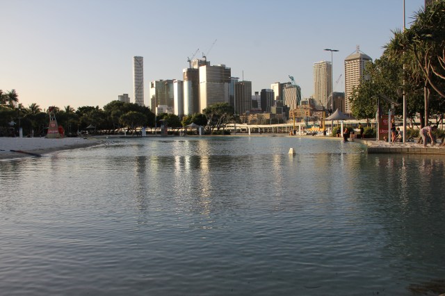
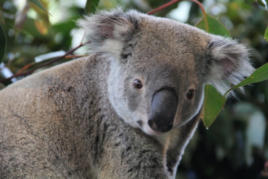
Some of picture from Brisbane Trip October 2019


This is some of photos left in my disk from trip to LA in 2015.
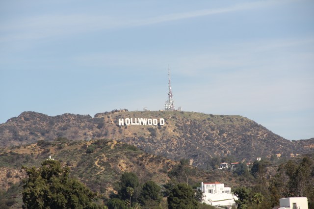
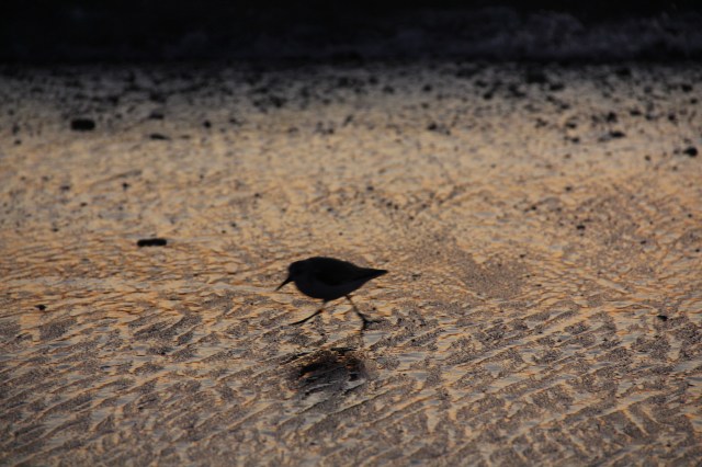
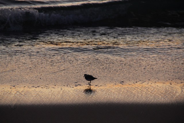
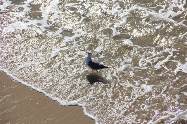
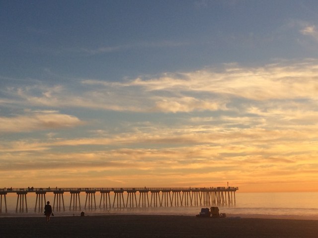
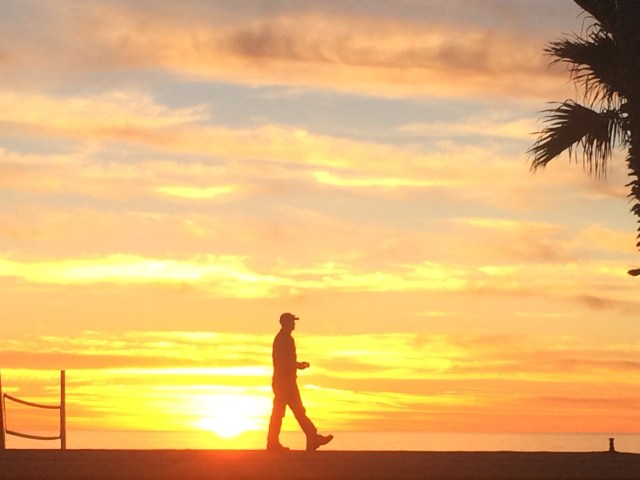
I was stayed in Hermosa Beach that one of popular beach along west coast Los Angeles California.


One of most important is keep the nature and protect biodiversity (left) in the areas.

Watching birds play with wave


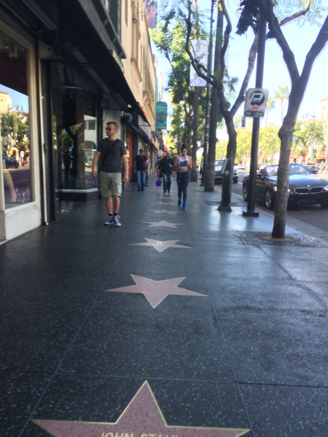
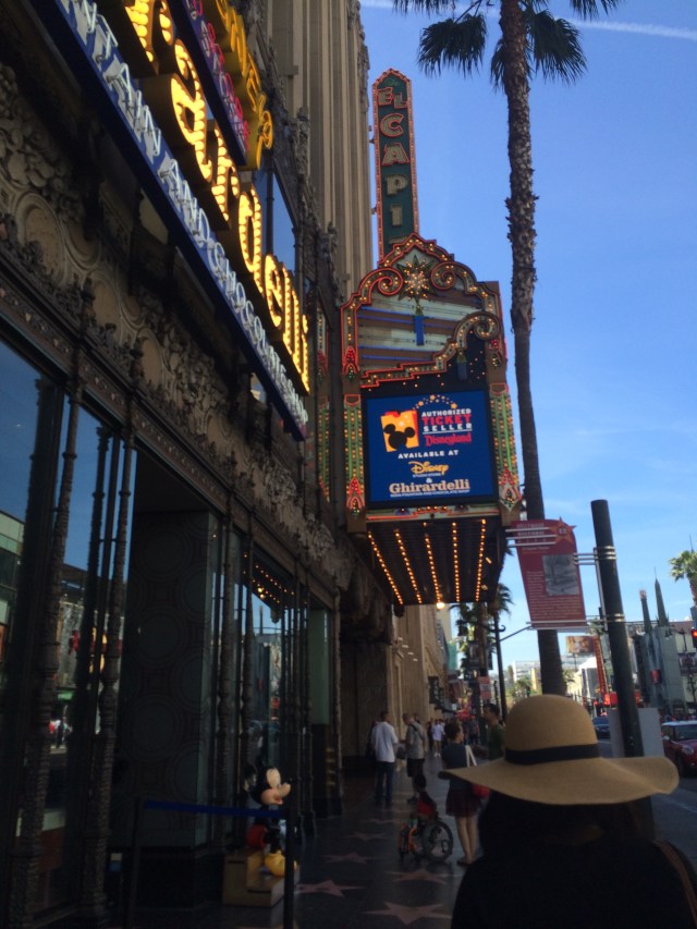
Hollywood
Trees


Sakura is one of most attractive tourist object in Japan, million of peoples visited Japan during April only to see Sakura.
Here some of Sakura pictures from my last trip in Japan.

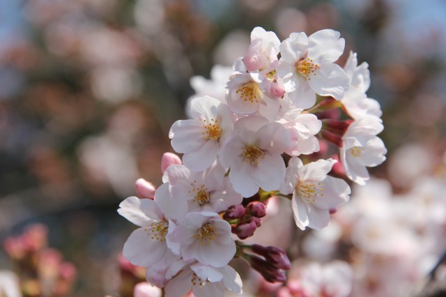

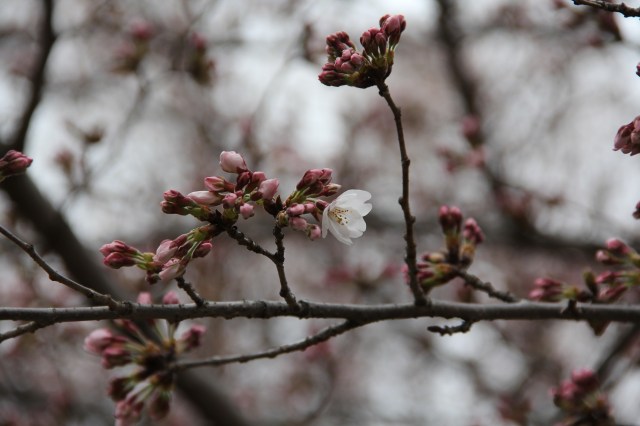


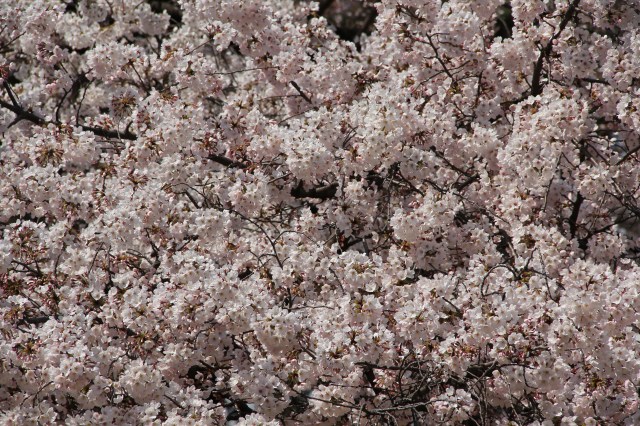

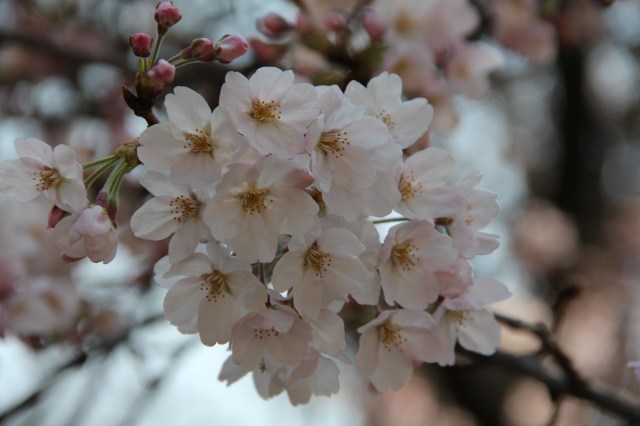
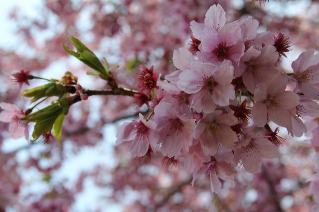

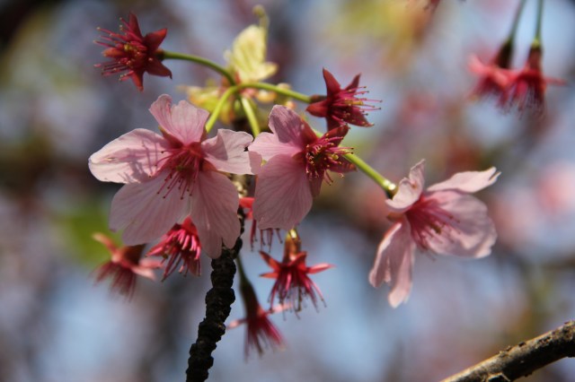


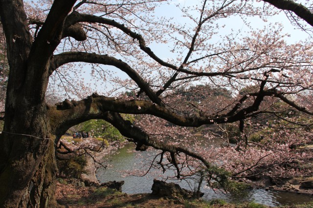
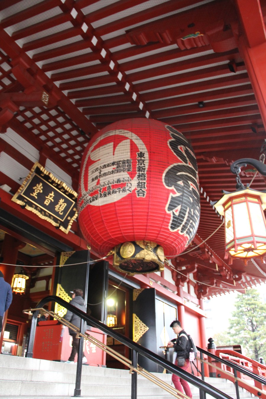
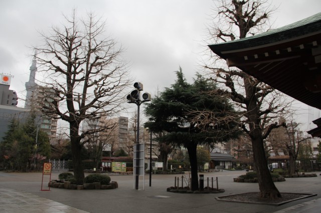
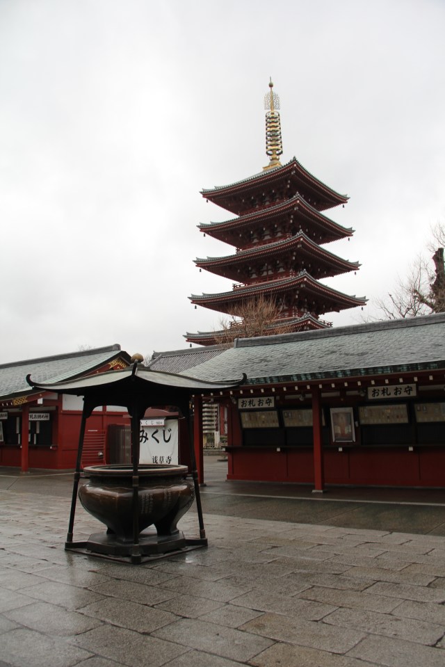
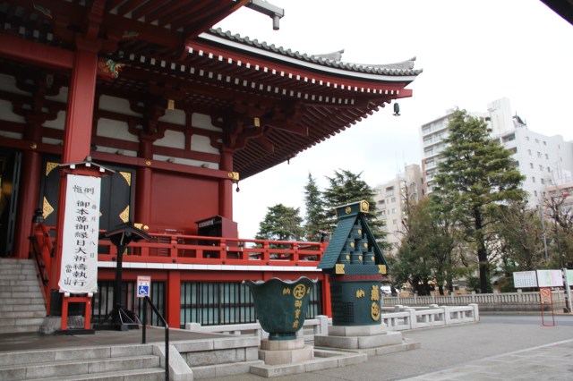
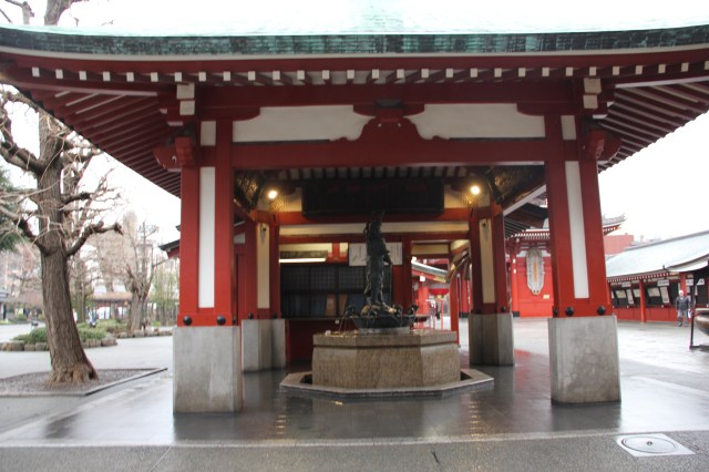
Foto diambil 14 Februari 2016 di Sensō-ji kuil Buddhist di Asakusa, Tokyo, Japan. Merupakan kuil buha tertua di Tokyo’s dari aliran Tendai Buddhism,


enjoy.
This post part of latest post about my trip and what I learn from my trip.
When I was arrived in San Diego at summer time in July 2015, I feel like arrived in one of city in tropical city. It’s rain when I was arrived but next couple days nice summer days with sun and heat.

San Diego is one of the top-ten best climates in the Farmers’ Almanac[58] and is one of the two best summer climates in America as scored by The Weather Channel.[59] Under the Köppen–Geiger climate classification system, the San Diego area has been variously categorized as having either a semi-arid climate (BSh in the original classification[60] and BSkn in modified Köppen classification)[61] or a Mediterranean climate[62] (Csa and Csb).[63] San Diego’s climate is characterized by warm, dry summers and mild winters with most of the annual precipitation falling between December and March. The city has a mild climate year-round,[64] with an average of 201 days above 70 °F (21 °C) and low rainfall (9–13 inches [230–330 mm] annually). Dewpoints in the summer months range from 57.0 °F (13.9 °C) to 62.4 °F (16.9 °C).[65]
The climate in San Diego, like most of Southern California, often varies significantly over short geographical distances resulting in microclimates. In San Diego, this is mostly because of the city’s topography (the Bay, and the numerous hills, mountains, and canyons). Frequently, particularly during the “May gray/June gloom” period, a thick “marine layer” cloud cover will keep the air cool and damp within a few miles of the coast, but will yield to bright cloudless sunshine approximately 5–10 miles (8.0–16.1 km) inland.[66] Sometimes the June gloom can last into July, causing cloudy skies over most of San Diego for the entire day.[67][68] Even in the absence of June gloom, inland areas tend to experience much more significant temperature variations than coastal areas, where the ocean serves as a moderating influence. Thus, for example, downtown San Diego averages January lows of 50 °F (10 °C) and August highs of 78 °F (26 °C). The city of El Cajon, just 10 miles (16 km) inland from downtown San Diego, averages January lows of 42 °F (6 °C) and August highs of 88 °F (31 °C). (source Wikipedia.


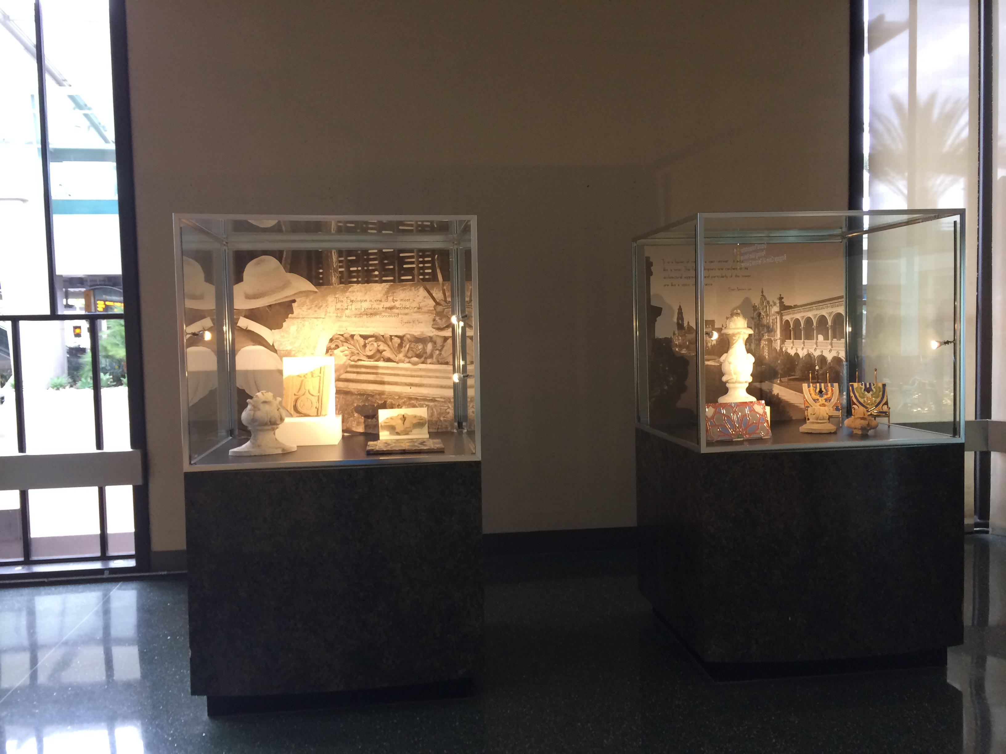
Arrived at San Diego Airport you can see some scene in Airport that shown history of San Diego. Some feature that you can see are miniature of plane from WW II that link with San Diego as Navy base in US.
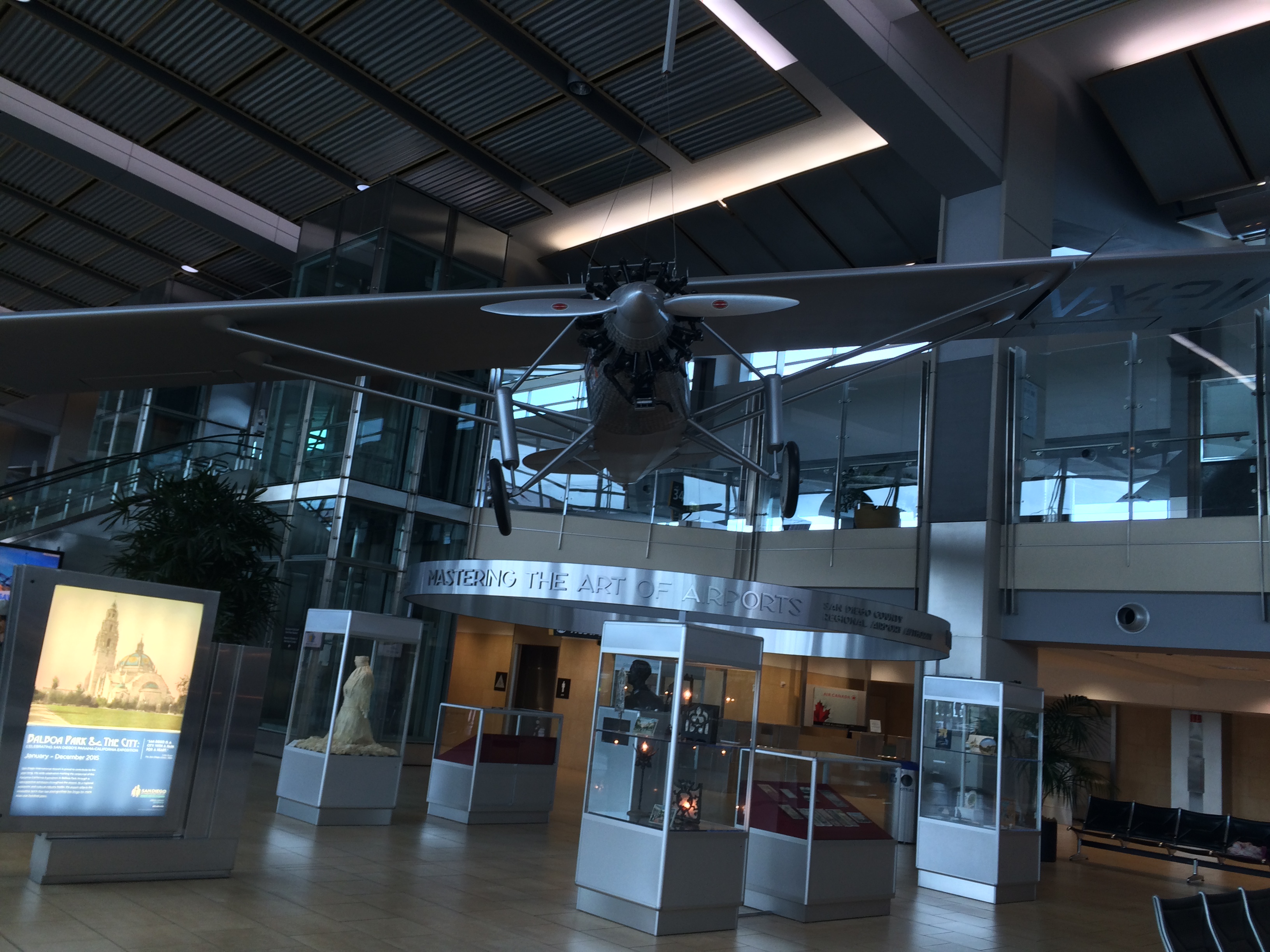
Some historical display a the airport that describe gold rush and early stage of San Diego development.
San Diego County as part of California state spread 190 km along west coast of US to south part of border with Mexico.
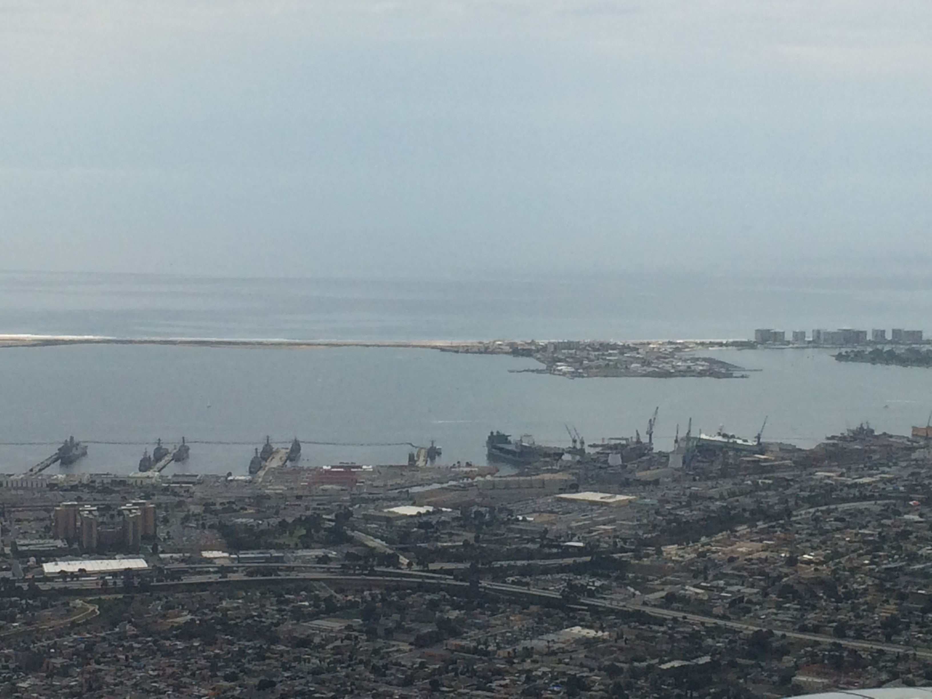
San Diego well known as US navy based and also tourism areas for spring break, with very good climate regime San Diego have no cold extreme during winter.
With an estimated population of 1,381,069 as of July 1, 2014,[9] San Diego is the eighth-largest city in the United States and second-largest in California. San Diego is the birthplace of California[11] and is known for its mild year-round climate, natural deep-water harbor, extensive beaches, long association with the U.S. Navy, and recent emergence as a healthcare and biotechnology development center.
Historically home to the Kumeyaay people, San Diego was the first site visited by Europeans on what is now the West Coast of the United States. Upon landing in San Diego Bay in 1542, Juan Rodríguez Cabrillo claimed the entire area for Spain, forming the basis for the settlement of Alta California 200 years later. The Presidio and Mission of San Diego, founded in 1769, formed the first European settlement in what is now California. In 1821, San Diego became part of newly independent Mexico, and in 1850, became part of the United States following the Mexican–American War and the admission of California to the union (Wikipedia).
San Diego combined between sky scrapper and coastline settlement and tourism areas.


As planner, I will always see city structure and tried to learn from that.
San Diego lay along coastline consist 9 city council. I see that areas could defined into business areas that located along the coastline and settlements that located far from coastline. Some settlement might laid near coastline such as Coronado with long history settlements for navy.
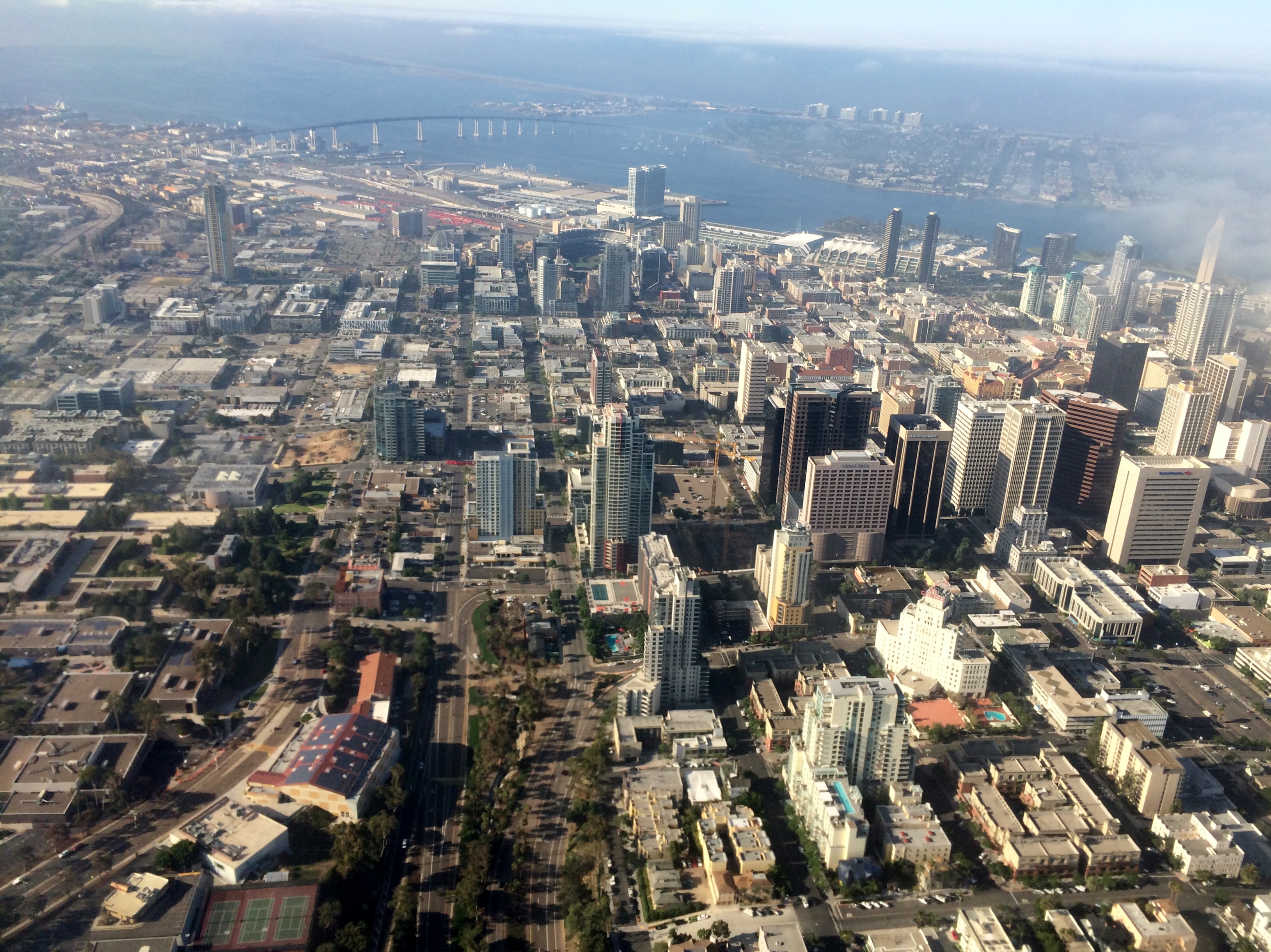
City structure following multiple nucleus with several sector based.

Some urban areas developed.

I also attended ESRI User Conference in July, a huge conference with 16.000 participants from all over the world.


All photos taken during my trip to San Diego and Colorado. San Diego trip for participated in ESRI User Conference 2015 from July 20-24. Colorado trip for some training and also technical discussion for Development by Design approach.
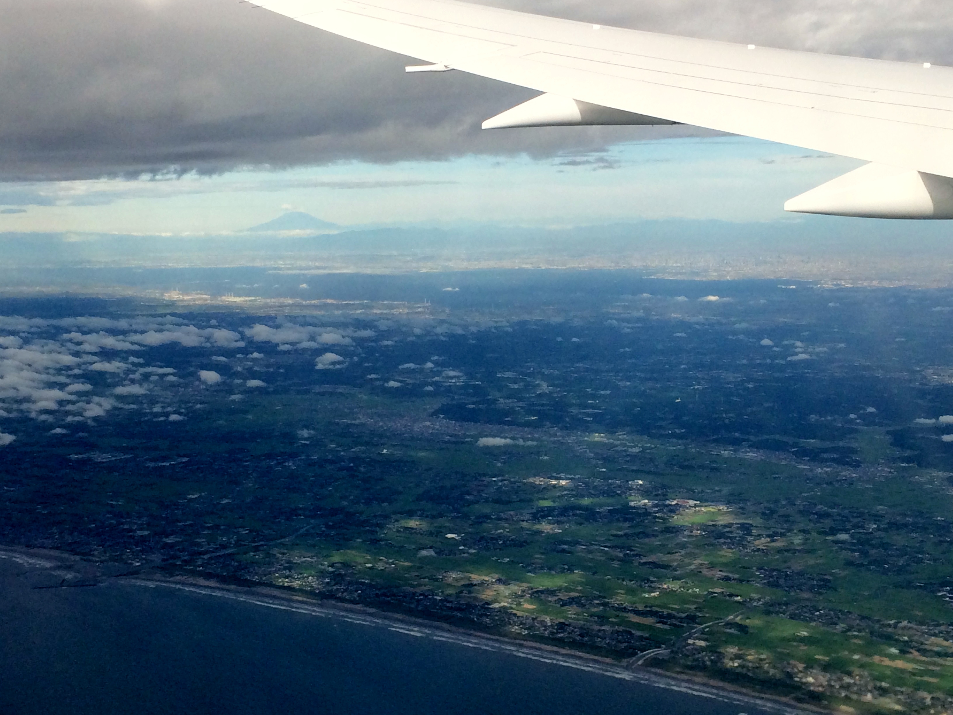
Leaving at nigh in Jakarta, I will arrived morning in Tokyo for layover. My plan to have 10 hours layover and travel in Tokyo cancelled due to no visa and no flight available.
This will be photography posting, but every trip should bring something to learn.
If you like to have a picture, make sure that you choose window seat and avoid seat at wing part (middle row), you have to choose whether front of far in back seat.
DSLR camera will be great, you can use tele lenses that makes you possible to get more detail photos.
I used my iphone 5s to take all pictures.

This portrait photos that showing more about information in vertical. You should takes portrait for feature such as roads or river.
Almost all international flight provided trip maps with actual GPS position. You can capture by camera to see where you are.


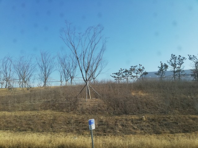
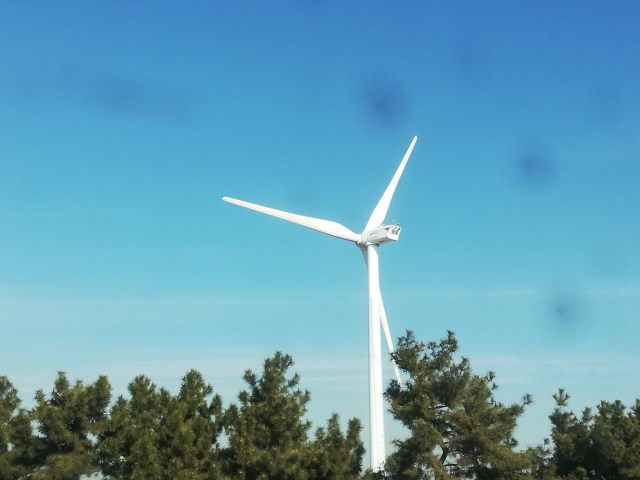
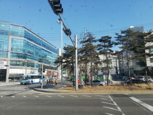
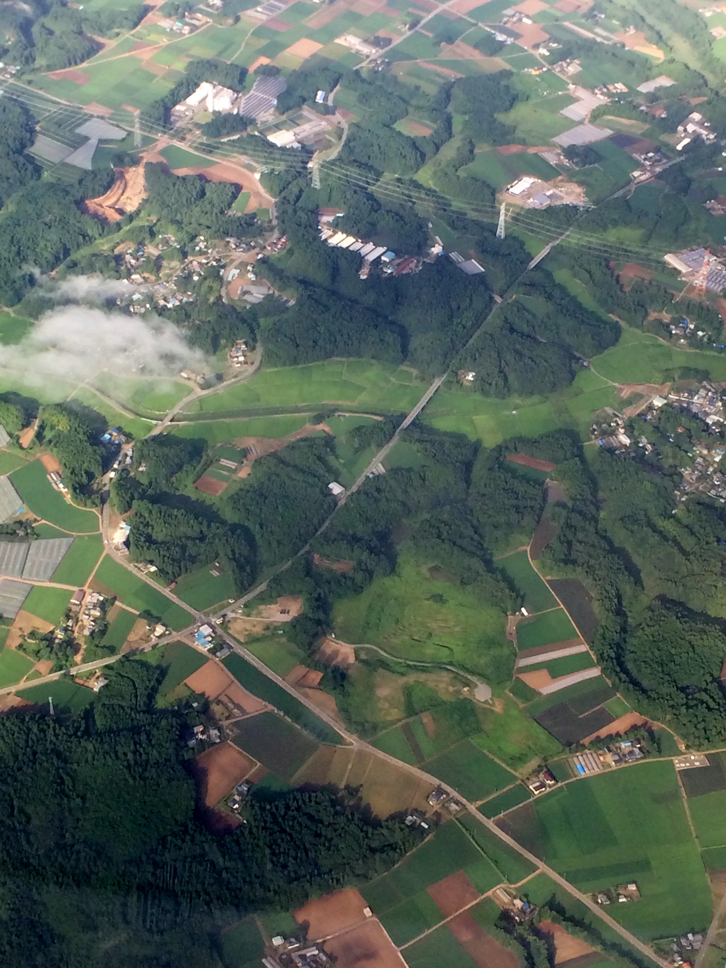
Japan is a modern country with very good infrastructure. This infrastructure provided not only at urban areas but spread cover all country including rural areas. This fact different with developing countries that leave gap between facility at rural and urban areas.
Rural areas also develop with a good planning. As regional planner, I am jealous that good planning implemented in all areas. River banks should clear from building and there supposed to be an open areas. Later when this area develop into semi urban or urban areas then this river bank could be a very nice place for parks or other recreational areas.
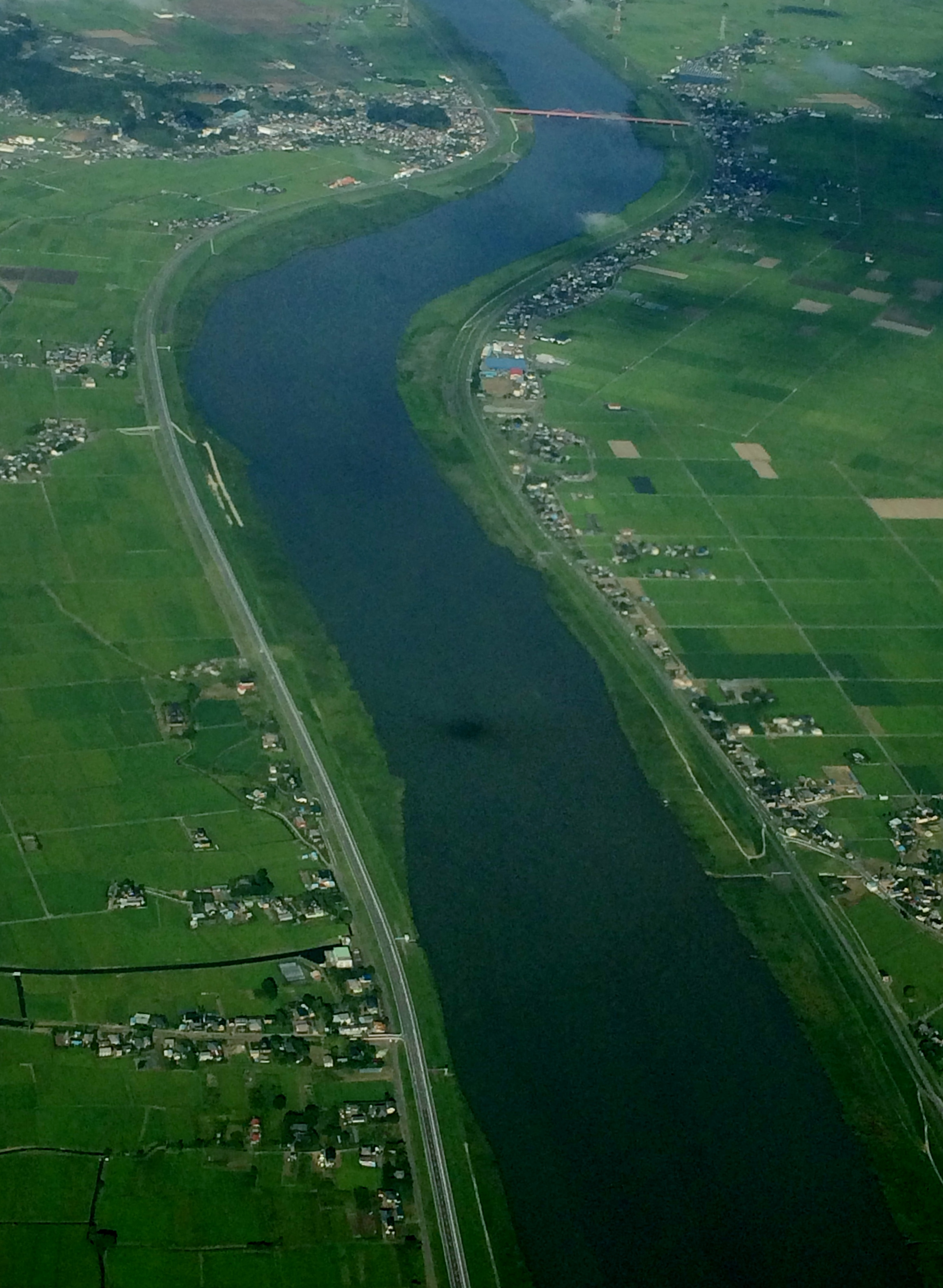
You can see from above that infrastructure such as road, bridge and other facility develop in good quality even at farming areas. Wide road, long bridge anticipated for long period.


From above I could see good quality settlements and also some building for further crops processing unit.

You can also see that even at rural areas there are shops and other public facility with a good quality parking lots and this building surrounded by nice tree cover.

As you can see some areas remaining cleared, I assumed that this is forest area.
You might surprise to see below picture huge roads and also a cycle turn in paddy field. How this happen? Based on my prediction that this development to anticipated long term development plan. With this anticipation government provided more secure transportation issue for next 10 and maybe 25 years ahead.

I am wondering that some lesson learnt from this will use for development planning, transportation planning in Indonesia
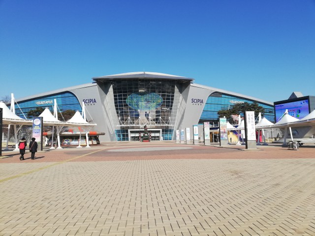
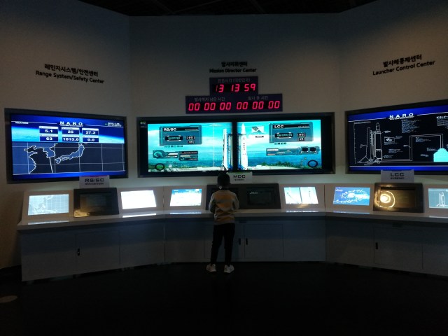
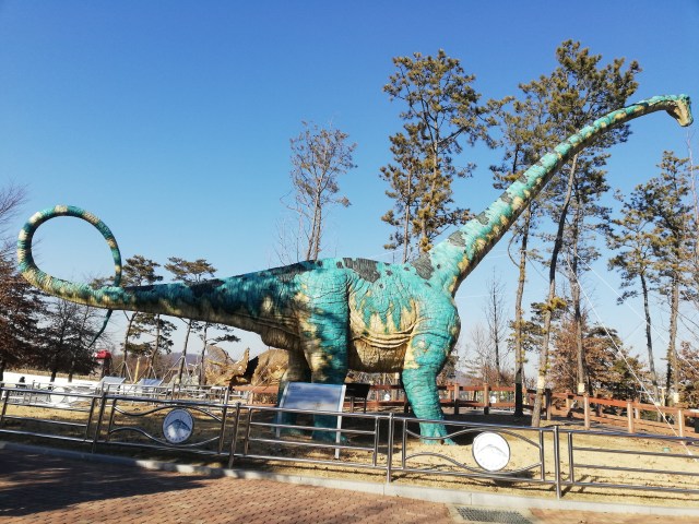
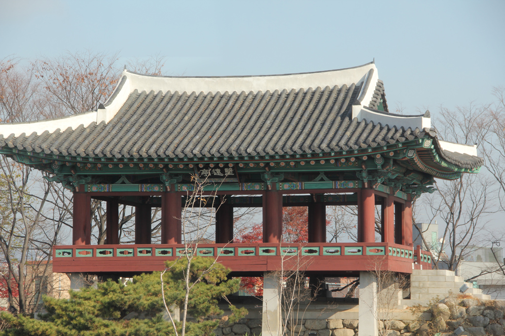
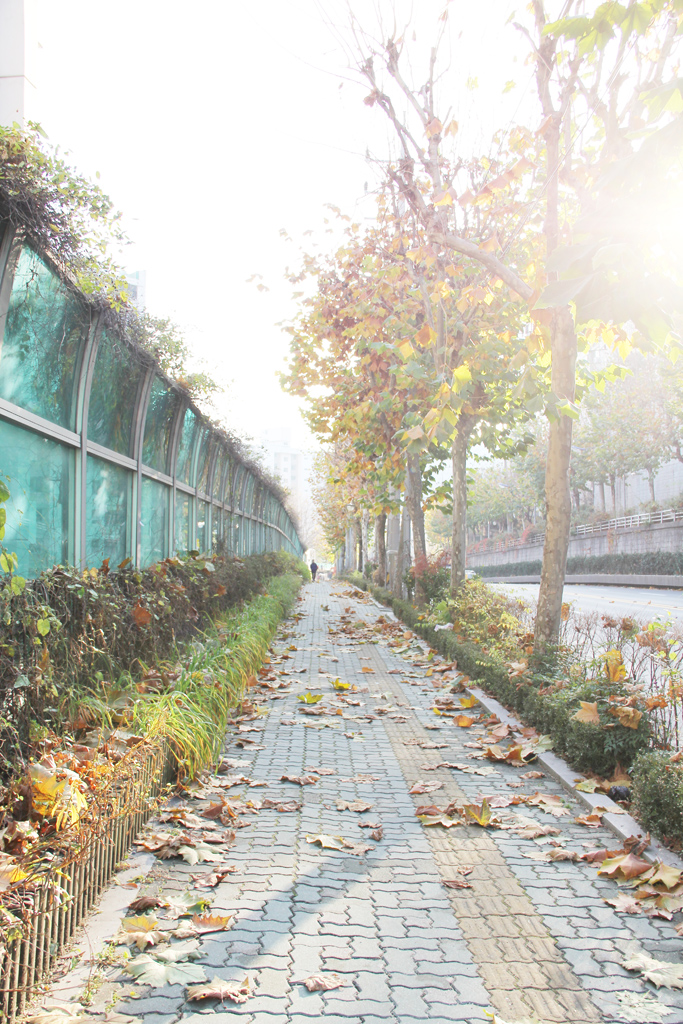
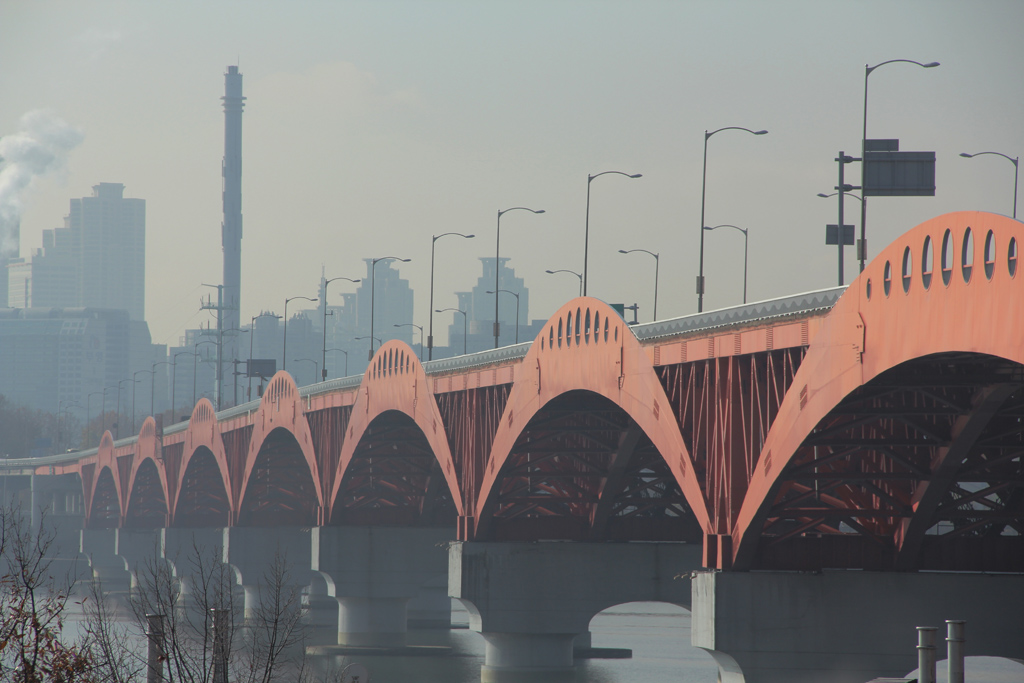
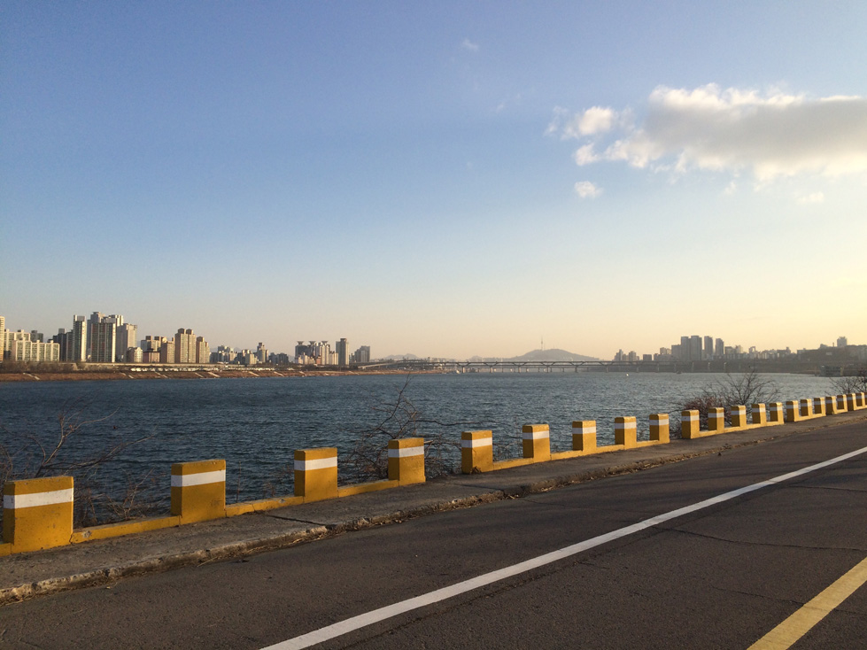
Photography: Some images from Korea trip

Wangsimni Area
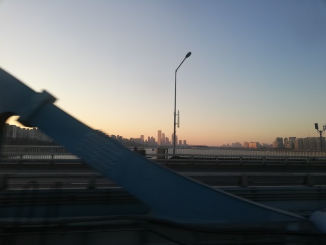
Bridges


Some transport scenes


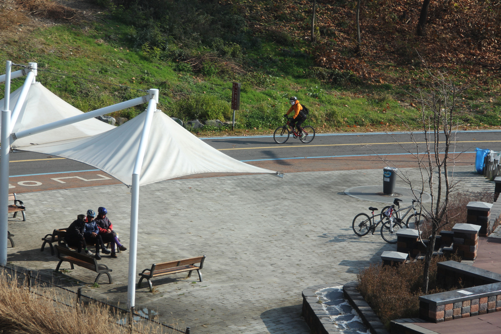
Hangnam River riparian area


Seoul Tower


Snow Shower – Myeong Dong area

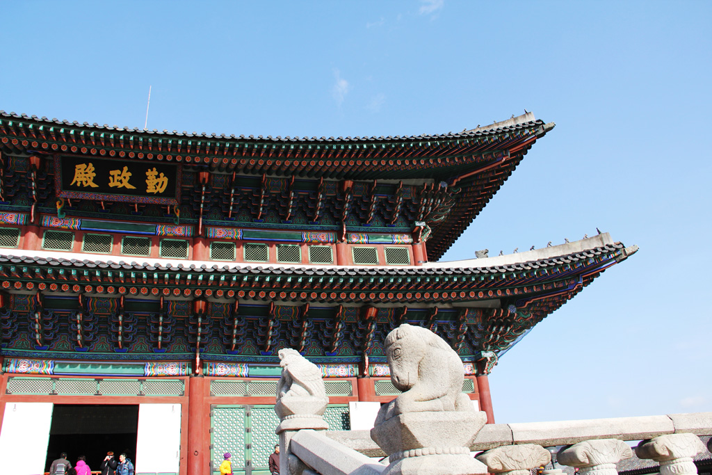
The Palaces


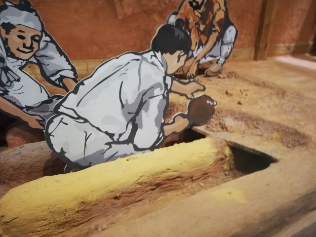
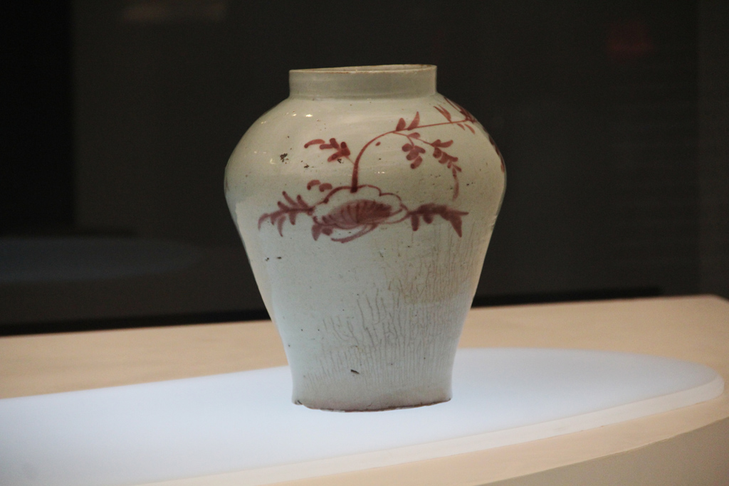
Museum Nasional Korea


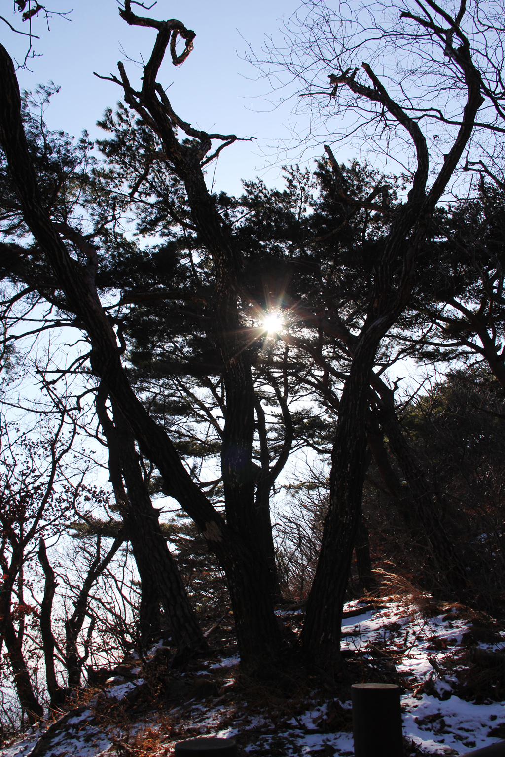
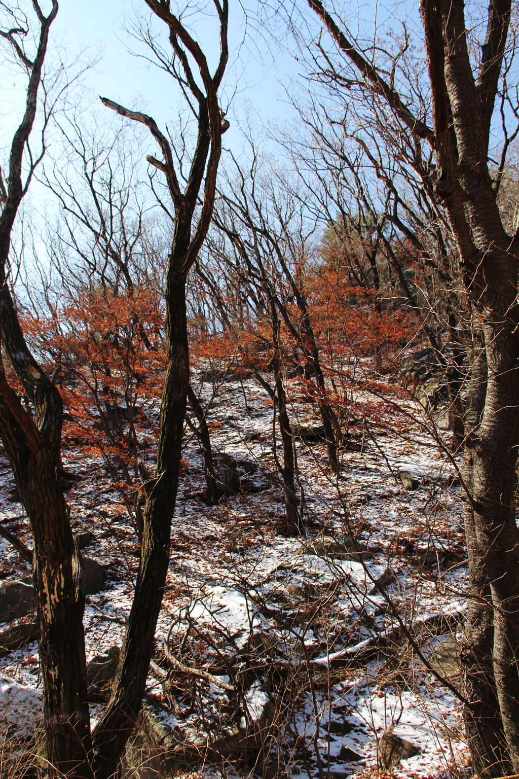
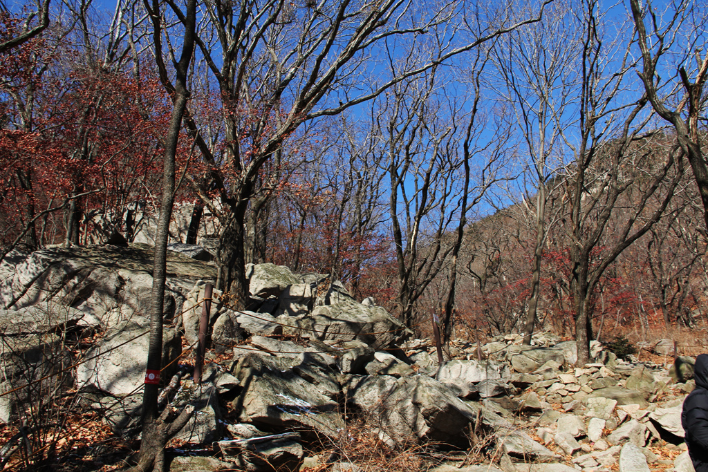
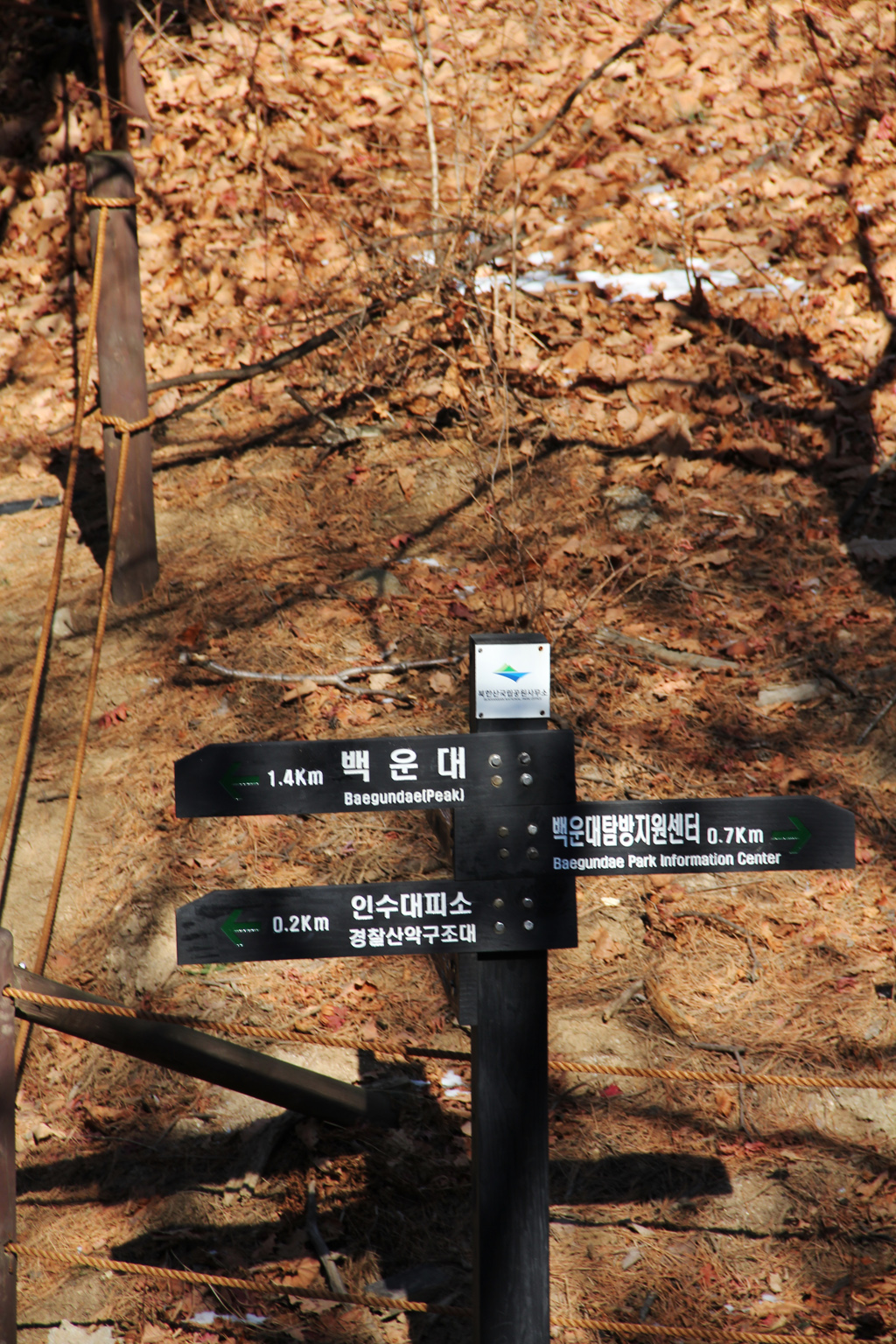
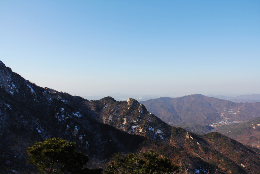
Bukhansan National Park

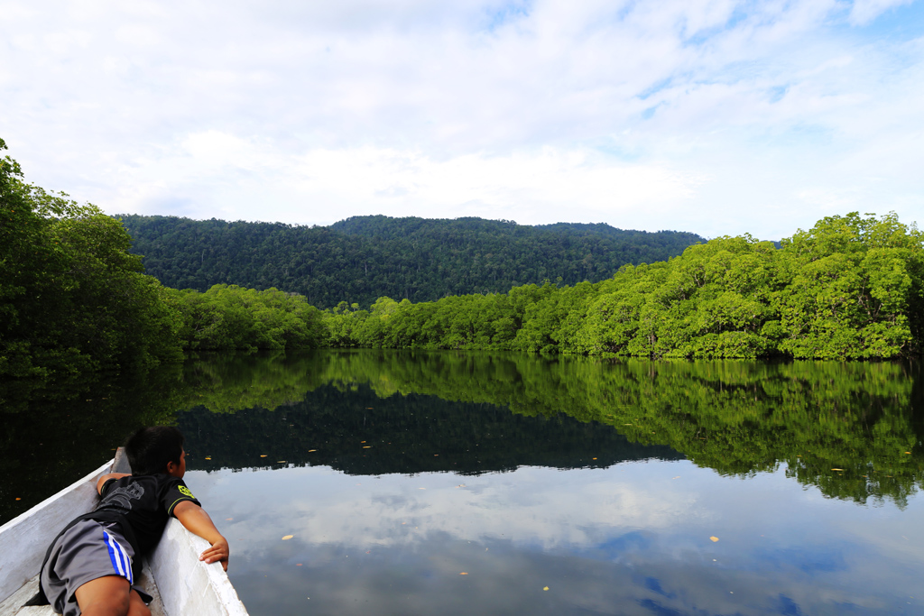
This some of my photo from Berau, East Kalimantan Trip